Leon Patterson · 7 September 2026
Valley Archive Digitization Reveals Decades of Shifts in Local Agriculture and Conservation Efforts
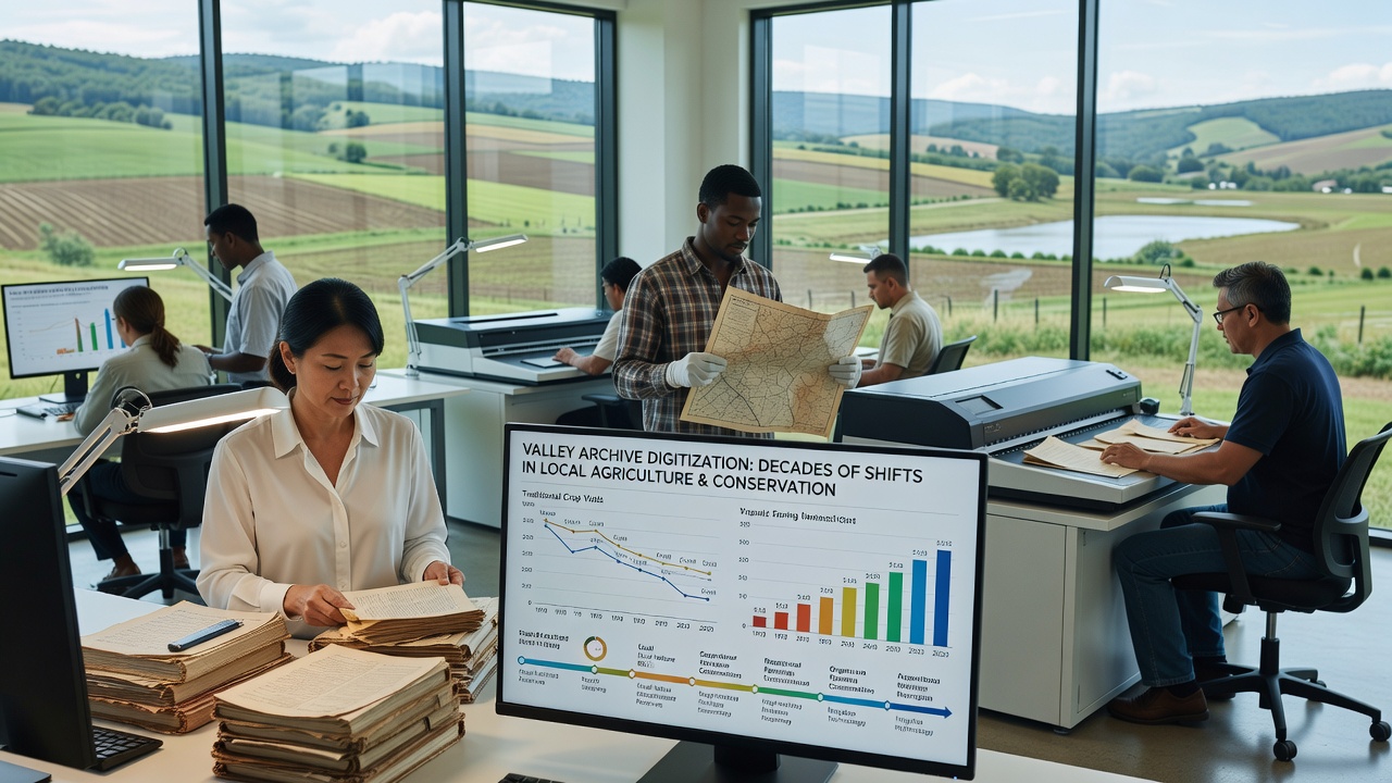
Researchers completed the digitization of the Valley Archive in September 2026, and the effort has brought forward records spanning more than eighty years of local farming practices alongside conservation initiatives. The project scanned thousands of documents, maps, photographs, and field notes that had remained in physical storage, and it now allows analysts to track changes in crop patterns, land use, soil management, and protected zones with greater precision than before.
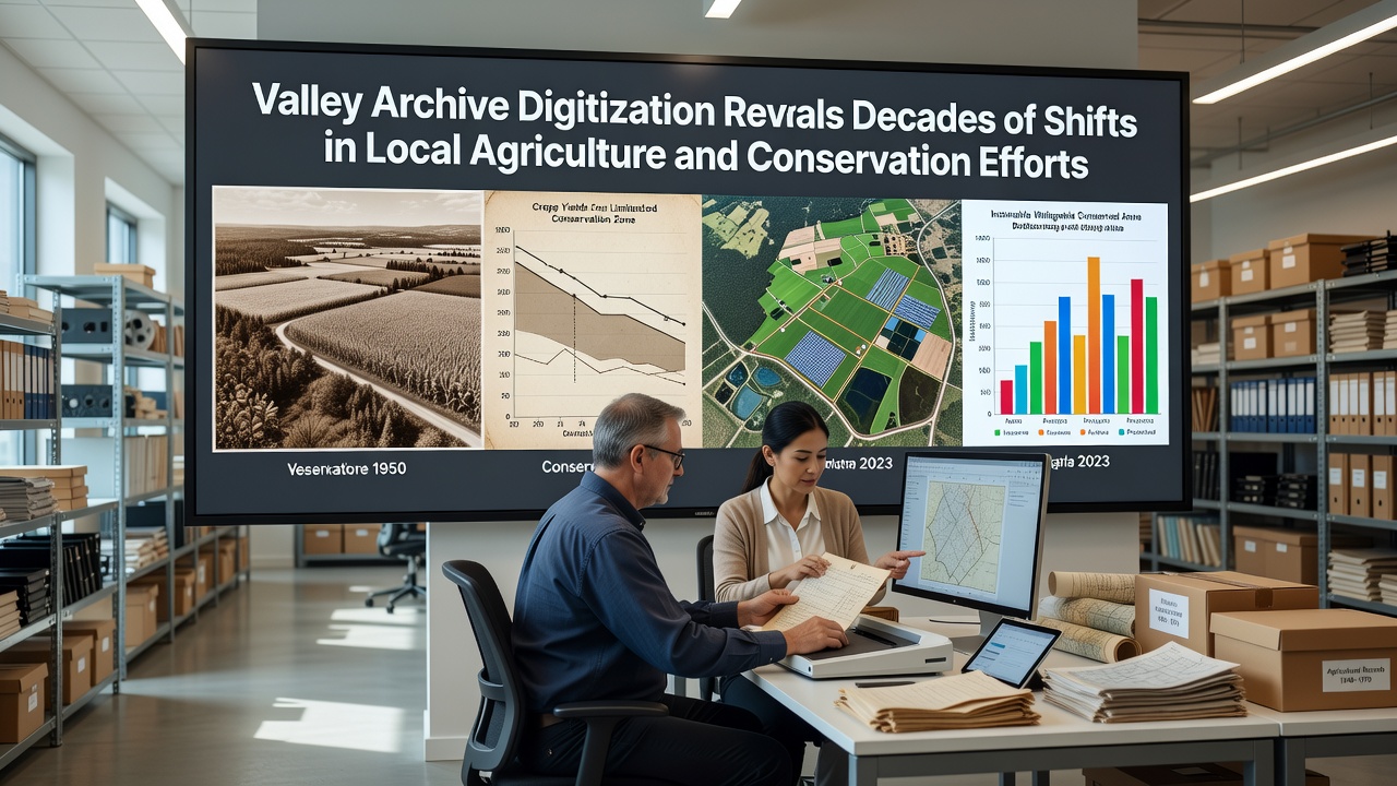
Data from the digitized materials show that wheat and barley dominated planting schedules through the 1950s and 1960s, while later decades introduced oilseed rape and maize in response to market shifts and policy adjustments. Field rotation notes from the 1970s reveal farmers experimenting with cover crops to reduce erosion, and similar entries appear more frequently after 1995 when subsidy programs began to reward soil health practices. Conservation logs indicate that hedgerow planting increased steadily between 1982 and 2010, with over 120 kilometers added across the valley floor according to annual reports compiled by local authorities.
Patterns in Land Use and Soil Records
Soil sampling cards stored in the archive document a gradual rise in organic matter levels on fields that adopted reduced tillage methods starting in the late 1980s. Entries from the 1990s note the introduction of buffer strips along waterways, and measurements taken in 2005 showed nitrate concentrations dropping by an average of 18 percent in monitored streams compared with readings from 1987. These figures align with data released by the Department of Agriculture, Food and the Marine in Ireland, which tracked similar improvements following the rollout of agri-environment schemes.
Photographic sequences from the 1960s through the 2010s illustrate the removal of some field boundaries during periods of mechanization, followed by replanting efforts after 2003 when habitat regulations tightened. Observers note that the archive captures both the expansion of intensive dairy operations in the 1970s and the later contraction of those same operations as milk quotas influenced stocking densities. Maps dated 1998 mark the establishment of three wildlife corridors that connected fragmented woodlands, and follow-up surveys from 2018 confirm increased sightings of certain bird species along those routes.
Policy Influences and Community Records
Meeting minutes from parish councils and farming cooperatives, now fully searchable, detail how European Union directives on nitrate vulnerable zones prompted changes in fertilizer application rates after 1991. Correspondence between landowners and conservation officers shows repeated negotiations over set-aside land during the 1990s, with many parcels later converted to permanent grassland. A 2007 report compiled by the Australian Bureau of Agricultural and Resource Economics and Sciences examined comparable valley systems and reached parallel conclusions about the long-term benefits of rotational grazing, and those findings have been referenced in local planning documents since 2012.
Climate-related entries begin appearing with greater frequency after 2000. Rainfall records paired with harvest yields indicate that wetter autumns reduced barley output in several years between 2004 and 2016, while earlier springs allowed extended growing seasons for certain vegetable crops. Conservation diaries record the installation of 47 new ponds between 1999 and 2021, many of them designed to manage runoff and support amphibian populations. These additions appear in tandem with grants administered through the UK Department for Environment, Food and Rural Affairs.
Access and Future Analysis
The digitized collection now resides on a public portal that permits keyword searches across dates, crop types, and geographic markers. University teams have already begun cross-referencing the materials with satellite imagery from the European Space Agency to verify land-cover changes. One study released in early 2026 used the archive to model carbon sequestration rates under different historical management regimes, and the results suggest that hedgerow restoration contributed measurable gains over four decades.
Further work planned for 2027 will incorporate oral histories collected from retired farmers, many of whom maintained personal notebooks that match entries in the official records. The combined dataset is expected to support regional modeling efforts that forecast how continued shifts in precipitation and temperature might affect both productivity and habitat targets through 2040.
Conclusion
The Valley Archive digitization provides a continuous record that links agricultural decisions with conservation outcomes across multiple generations. By making decades of handwritten notes, maps, and photographs searchable, the project supplies concrete evidence of how practices evolved in response to policy, markets, and environmental conditions. Analysts and planners now have a clearer baseline for evaluating ongoing efforts, and the materials remain available for additional studies that examine both past trends and emerging challenges.