Uma Bennett · 21 September 2026
Valley Residents Tap Digitized Archives to Track Shifts in Local Habitats and Guide Future Green Projects
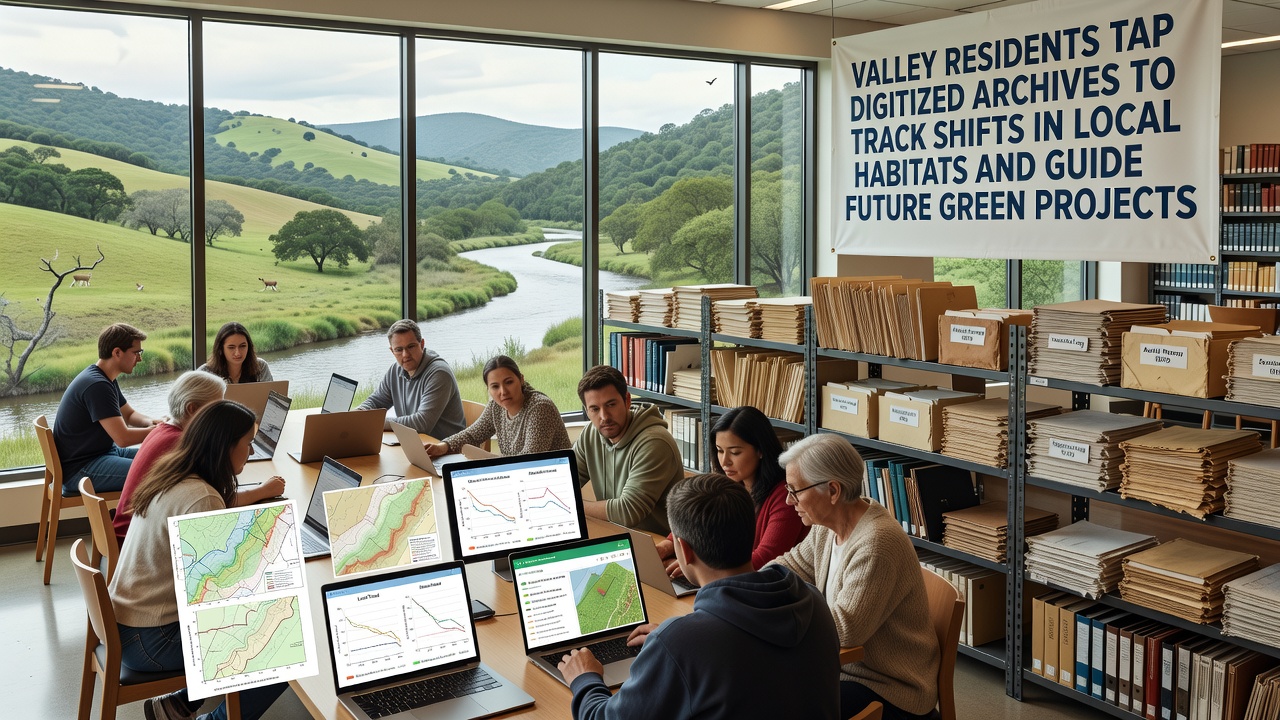
Residents across the Grandvale valley have begun accessing newly digitized historical records to monitor alterations in local ecosystems, and these efforts now inform planning for upcoming conservation initiatives. The archives contain field notes, photographs, and survey data spanning more than a century, which researchers and community groups convert into searchable databases that reveal patterns in vegetation cover, water levels, and species distribution.
Digitization Process Expands Access
Local libraries and environmental organizations completed the bulk of the scanning work by early 2025, yet the project continues with additional materials added each month. Volunteers and professional archivists work together to tag entries by location, date, and ecological feature, which allows users to compare conditions from the 1920s with current observations in the same areas. Data shows that certain wetland zones have contracted by measurable percentages while upland meadows have expanded in others, patterns that emerge clearly once the records sit in a unified digital format.
Those who've studied the collections note that handwritten journals from earlier decades often include precise measurements of riverbank erosion and tree species counts, information that complements satellite imagery collected since the 1970s. The combination creates a layered view of habitat evolution that single-era studies cannot provide on their own.
September 2026 Data Release Supports New Projects
In September 2026 the valley council plans to release an updated public portal that incorporates the latest archive batches along with real-time sensor readings from monitoring stations installed along key waterways. Project coordinators state that planners will use the combined datasets to prioritize restoration sites for native plant corridors and to identify zones where invasive species have gained ground over the past thirty years. Figures from preliminary trials indicate that areas flagged through archive analysis show faster recovery rates when targeted interventions begin early in the season.
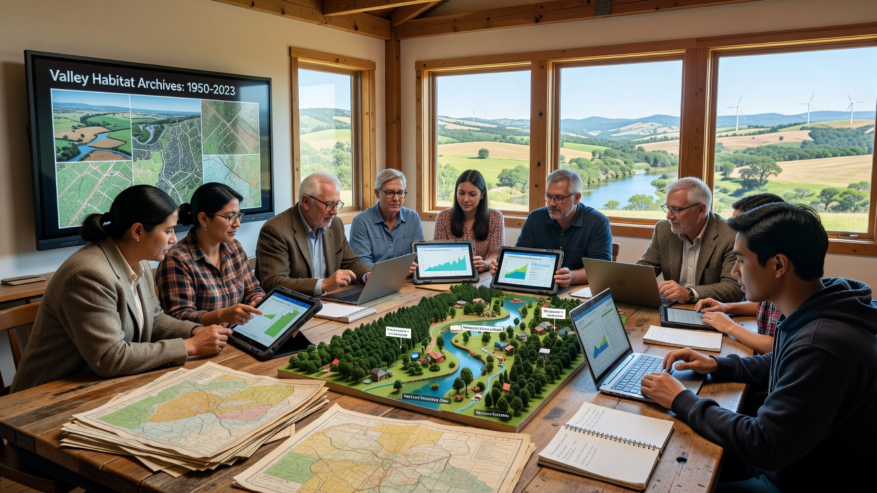
One study revealed that digitized photographs from the 1950s documented the presence of certain amphibian breeding pools that no longer appear on contemporary surveys, prompting targeted searches for remnant populations. Residents who cross-reference these images with recent field reports have located several previously overlooked sites that now receive protection under the new green project guidelines.
Community Groups Apply Findings
Local conservation clubs organize regular workshops where participants learn to query the database by specific parameters such as elevation band or soil type. These sessions produce maps that highlight corridors where habitat connectivity has declined, information that feeds directly into grant applications for corridor restoration. Evidence suggests that projects guided by such multi-decade comparisons receive stronger support from regional funding bodies because the proposals include measurable baseline conditions rather than estimates alone.
Turns out the archives also contain records of past management practices, including controlled burns and grazing rotations that shaped grassland composition before modern agricultural shifts took hold. Observers note that understanding these historical interventions helps current teams design projects that align with proven ecological responses rather than relying solely on contemporary models. Researchers discovered similar patterns when they examined comparable digitized collections maintained by Environment and Climate Change Canada, where long-term data sets have shaped regional habitat strategies for decades.
Integration with Broader Research Networks
Grandvale groups now share select datasets with academic partners who run comparative analyses across multiple watersheds. A recent collaboration with teams at several European institutions produced reports that place local changes within larger climate-driven trends documented since the mid-twentieth century. Those reports, available through university repositories, allow valley residents to see how their specific findings fit into continental patterns without duplicating work already completed elsewhere.
What's interesting is that the same archive materials also support educational programs in nearby schools, where students examine original photographs alongside current conditions to learn about ecological succession. Teachers report that the tangible connection to local history increases engagement compared with generic textbook examples.
Conclusion
The ongoing use of digitized archives demonstrates how historical records, once made accessible, supply concrete baselines for measuring habitat change and directing future green projects. As the September 2026 portal launch approaches, additional records continue to enter the system, expanding the temporal depth available for analysis. External sources such as reports from the U.S. Environmental Protection Agency further contextualize these local efforts within national monitoring frameworks, ensuring that valley initiatives rest on established scientific standards. The process continues to evolve as more residents contribute observations that extend the archive into the present day.